

Saint Barthélemy (St Barts) is a small island in the Caribbean Sea, part of the Lesser Antilles in the northeastern Caribbean. It belongs to the Leeward Islands, a group of islands in the West Indies.
The Leeward Islands are a group of islands in the northeastern Caribbean, forming part of the Lesser Antilles. They are called “Leeward” because they are downwind (leeward) of the trade winds, which blow from east to west.
Geographical Position of St Barts
- Latitude & Longitude: 17.9° N, 62.8° W
- Region: Caribbean, Leeward Islands
- Political Status: A French overseas collectivity
- Surrounding Waters: Caribbean Sea and the Atlantic Ocean
Where is St. Barts in Relation to Other Caribbean Islands?
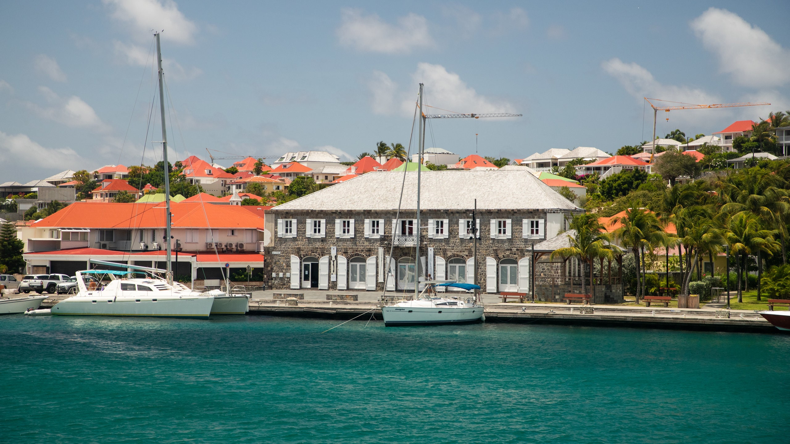
St. Barts is close to several other well-known islands in the region:
- 15 miles southeast of Sint Maarten/Saint Martin
- 16 miles south of Anguilla
- 30 miles northwest of St. Kitts & Nevis
- 30 miles northeast of Saba
- 90 miles west of Antigua & Barbuda
- 175 miles east of Puerto Rico
How to Get to St Barts?
- The island has a small airport (Gustaf III Airport – SBH), accessible by short flights from Sint Maarten (SXM).
- Ferries from Sint Maarten provide a 45-minute journey to the island.
- Private yachts and charters often arrive at Gustavia Harbor.
St. Barts is a centrally located Caribbean island, making it a key destination within the Leeward Islands of the Lesser Antilles.
Travel Accessories

$188.00
$132.00


$2,795.00
$1,400.00
Share:
Get travel Points!
29% OFF
Rebecca Minkoff Travel Wallet In Black
The Travel Wallet is designed to keep your essentials secure and organized in style. With its sleek silhouette and practical interior, this wallet is perfect for travel or everyday use. Crafted from premium materials, it features a secure pin snap closure and a compact design that fits easily into any bag. Style # CS25TTRWAL-Black 100% Faux Leather Antique Brass Hardware 9" X 5. 625" X 0. | Rebecca Minkoff Travel Wallet In Black
Jackman Travel Fedora
$150.00
Eda Cashmere Blend Travel Wrap
$325.00
Jackman Travel Fedora
$150.00
The Bailey 1922 Jackman Fedora features a 4 low-profile pinch front crown and Casual Brim. It's crafted out of our lightweight 4oz LiteFelt ® that's water repellant, shape retentive, packable, complete w dust bag. Vegan leather trim and finished with a Fine Woven Sweatband.\n\nMade in the USA\n4 Low Profile Pinch Front Crown\n2 1/4 Brim\n4 oz. LiteFelt ®\nVegan Leather Band\nRoll Up/Packable\nFine Woven Sweatband\nIncludes Dust Bag\n
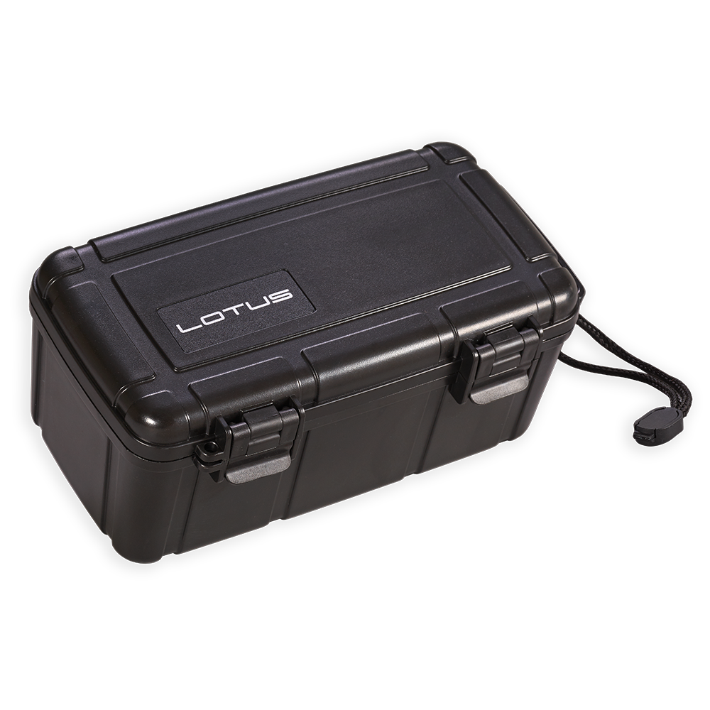
Travel Humidors Lotus Black 15ct
$26.99
Keep your precious cargo or premium cigars safe, fresh and delicious with one of these quality travel size humidors. Available in all shapes and sizes for any cigar collection on-the-go, these travel humidors provide the top, latest technologies, engineered for the preservation of your prized possessions. Dont let your investments dry-out, crumble, or lose their zest with an ineffective, household concoction for storage (translation: dont throw your fancy, expensive cigar in a sandwich bag!!). Order one of these great travel humidors for sale today, and provide the same quality humidification of your larger humidor, in a convenient, travel size.
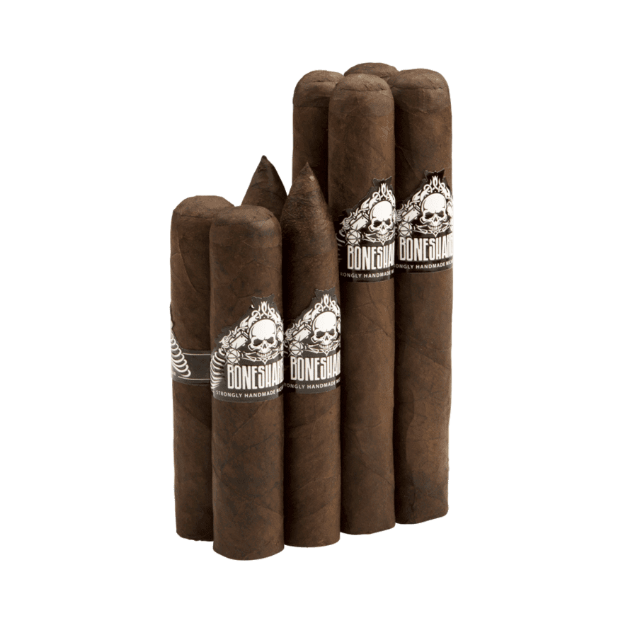
Cigar Samplers Boneshaker Flight Sampler
$38.99
Boneshaker Flight Sampler was my formal introduction to one of the boldest Nicaraguan brands on the market today! The Sampler included all four big ring sizes in the original Boneshaker portfolio. You get the ( 4 x 60 ) Mace,( 6x 54) Maul, (5 x 56) Morning Star, and the (6 x 60 ) War Hammer. The blend features a very oily and dark Connecticut Broadleaf Maduro atop aged Nicaraguan binder and fillers. Each big stick in the package burned like a champ while serving up uber-full bodied flavors of bittersweet chocolate, earth, leather, oak, and dark roast coffee. If youve been on the hunt for an affordable and delicious maduro wrapped premium that really packs a wallop, then the Boneshaker 8 Count Cigar Sampler is an absolute must-try!Boneshaker Flight Sampler Includes:2- Boneshaker Mace (4.50 60)2- Boneshaker Maul (6 54)2 - Boneshaker Morning Star (5 56)2- Boneshaker War Hammer ( 6 x 60)
49% OFF
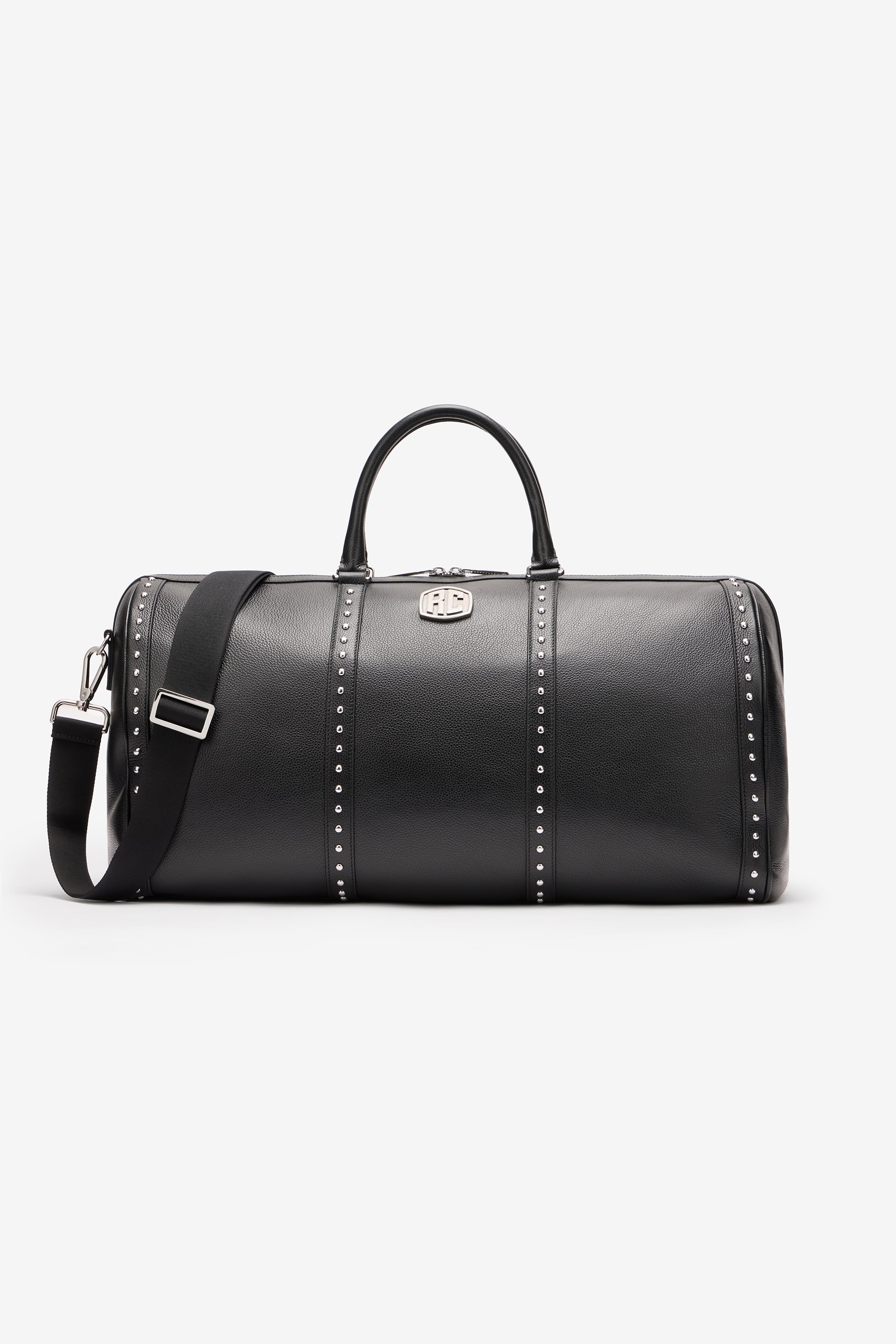
Roberto Cavalli Tumbled Leather Travel Bag - Male Black Unica
Tumbled leather travel bag Four rows of studs on the front and back Metallic RC Monogram on the front Spacious design Two top handles Adjustable tape shoulder strap that can be removed with the clasps Two-way zipper fastening on the top Interior wall pocket with zipper

